
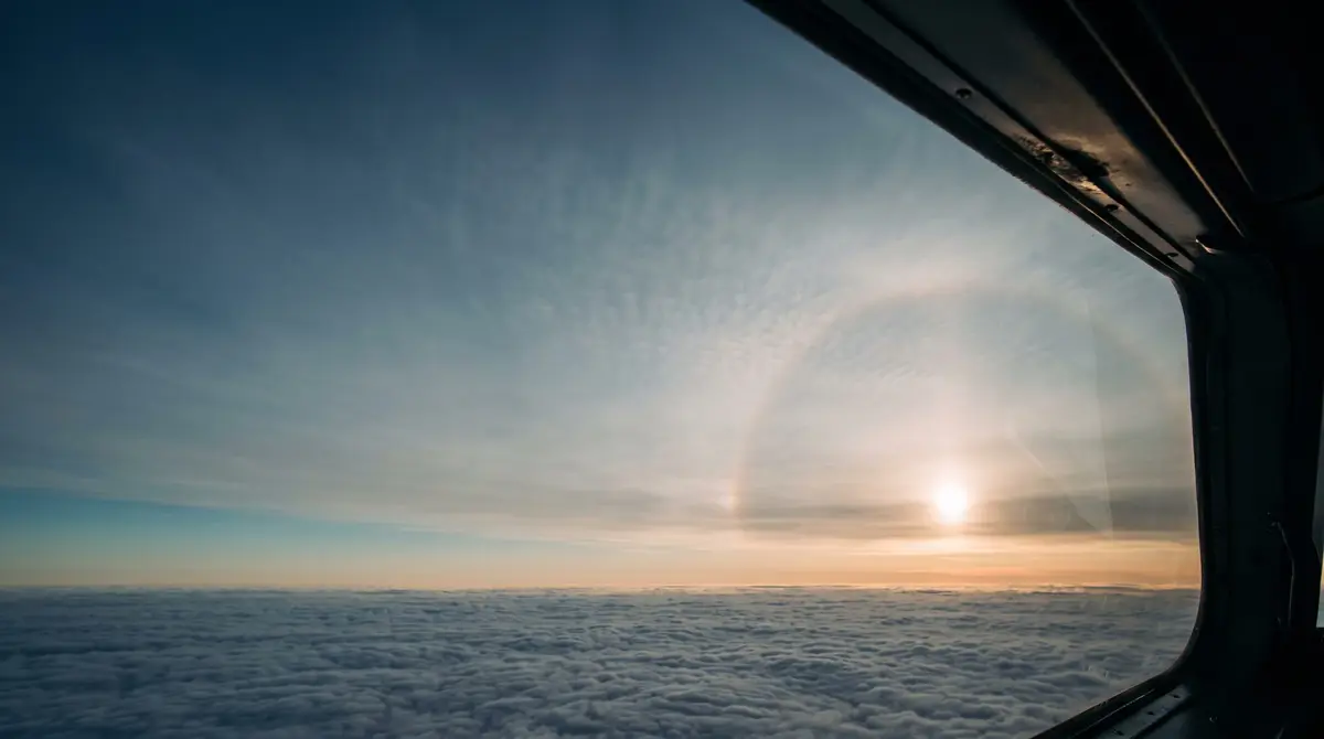
A warm front announces itself in the sky well in advance. If you know the order of the clouds, you know when the visibility and the cloud base will drop.
At a warm front, warm, moist air slides up over colder air. The cold air lies like a wedge under the frontal surface. That boundary rises gently, with a slope of roughly 1 in 100 to 1 in 300, often around 1 in 200. That is why you often see the first clouds hundreds of kilometres before the front passes on the ground, sometimes 1,000 km or more.
The classic order: first cirrus, then cirrostratus with a halo around the sun, then altostratus and finally nimbostratus with prolonged rain. That rain falls ahead of the surface front, through the cold air under the frontal surface.
What Changes on the Flight Deck
Ahead of the front, the pressure falls steadily. In the northern hemisphere the wind is then often from the south to south-east. In the rain zone under the nimbostratus, visibility is poor and frontal fog can form. As the front passes, the pressure levels off, the wind usually veers to the south-west and the temperature rises.
- AHEAD OF THE FRONTPressure falls steadily, wind south to south-east
- AS IT PASSESPressure levels off, the wind veers, possibly drizzle and poor visibility
- BEHIND THE FRONTWarmer, visibility often stays moderate
Hazards
Under the nimbostratus the cloud base is low. In cloud at temperatures below zero you can pick up ice. If the cold wedge is below zero, rain from the warm air is supercooled on the way down and becomes freezing rain, which freezes on contact with the aircraft. If the rising warm air is unstable, cumulonimbus can be embedded in the cloud layer in summer.